If you’re seeking a breathtaking hiking adventure, there’s nowhere quite like Alaska. The 49th State is aptly nicknamed the last frontier. It’s one of the few places in the world where you can still be completely alone and emerged in the wilderness. Not quite uncharted territory, but as close as you’re going to get. There’s something for everyone in Alaska from beginners to experienced hikers. This blog post is a short selection of the best hikes in Alaska, from short and easy trails to long and challenging ones. So grab your hiking boots and get ready to explore…

Does Alaska have good hiking?
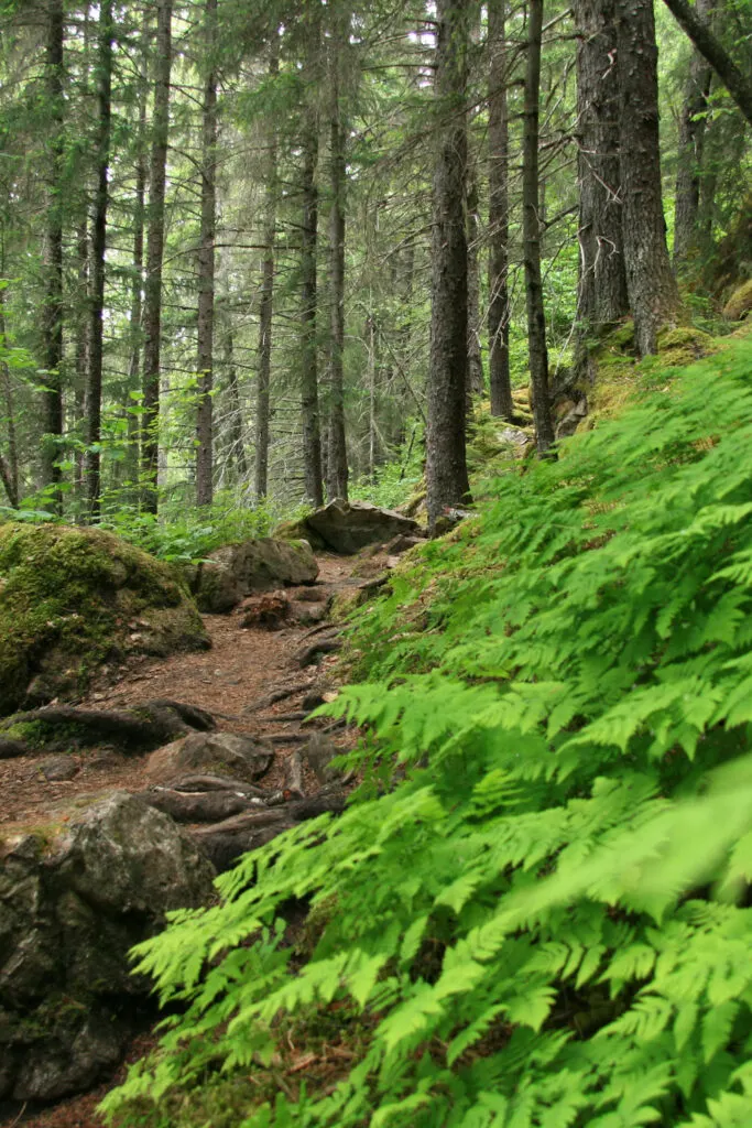
With over 34,000 miles of tidal shoreline, more than 100 million acres of public land, and eight national parks, there’s no shortage of places to explore. Alaska has hundreds of trails to choose from starting with easy day hikes up to strenuous multi-day backpacking trips. Aside from established trails, hikers with experience can literally go off the beaten track exploring through pathless forests, muskeg, and alpine tundra.
What is the longest hike in Alaska?
Compared with the rest of North America, backpacking trails are relatively short. The longest thru-hike in Alaska is The Resurrection Pass Trail at 44 miles long. That’s just a baby compared with the big three thru-hikes of the Appalachian Trail, Pacific Coast Trail, and the Continental Divide Trail.
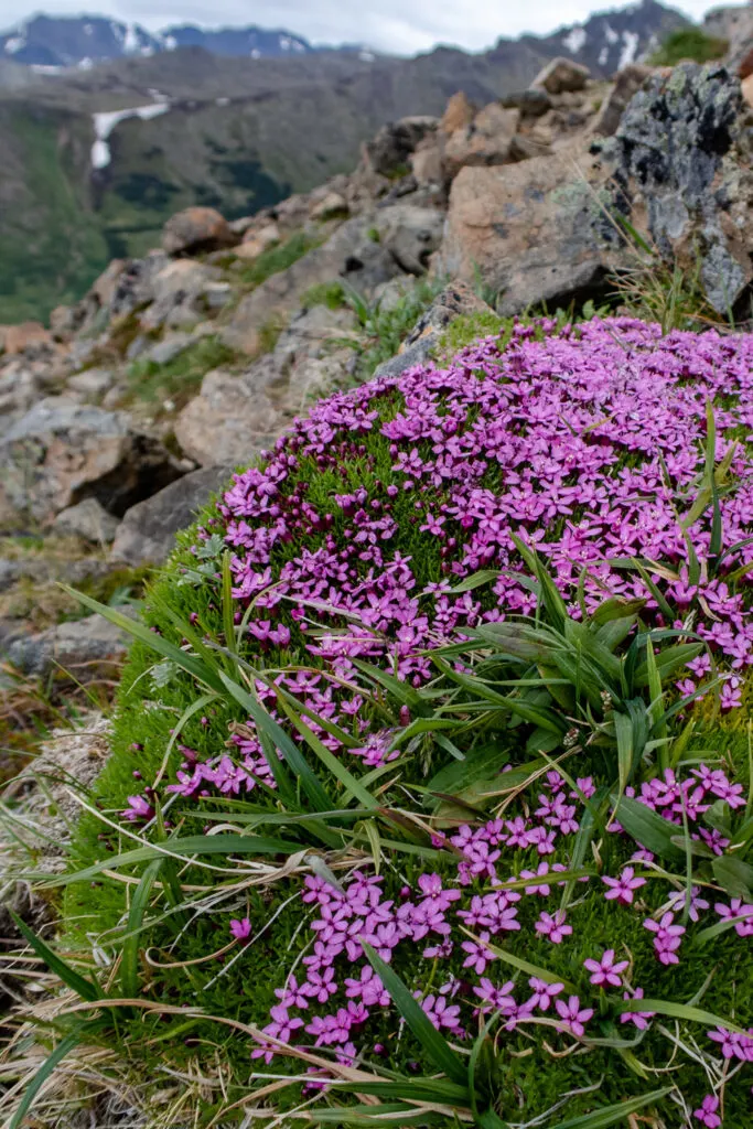
What Alaska’s established trails lack in distance, they make up for in diversity – from coastal temperate rain forests to arctic tundra. Alaska is also a paradise for mountaineers with a vast wilderness of rarely climbed peaks.

The Iditarod National Historic Trail – Southern Trek would be the longest thru-hike at 120 miles but it’s currently in need of some maintenance. Go if you like bush-whacking!
There’s a plan for a 500 mile Alaska Long Trail from Seward to Fairbanks. This would be amazing but at the moment it’s still looking for funding.
What is the hardest hike in Alaska?
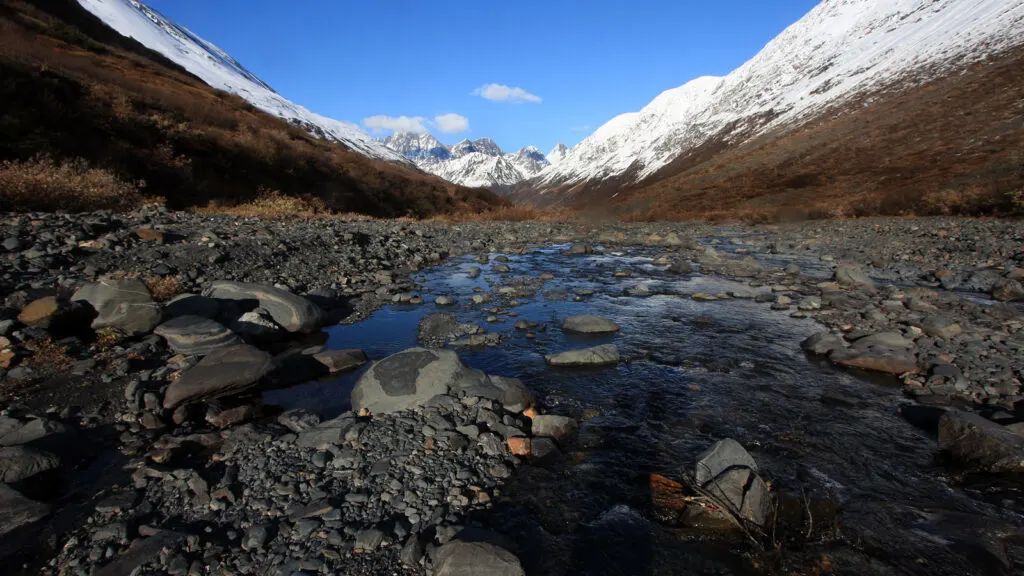
Outside of the more densely populated areas such as day hikes near Anchorage, hiking in Alaska is a serious undertaking. You need to be fully self-sufficient and capable of hiking through difficult terrain. On the hardest hikes expect icy river crossing, scree and boulder fields, glaciers, and steep climbs. Plus don’t forget the hazards of hiking through bear country.
Unsure of your capability? This article by the National Park Service is an excellent read.
The hardest established trail is the Crow Pass Trail. The Bomber Traverse in Hatcher Pass also deserves a mention. It’s an informal, unofficial route through the Talkeetna Mountains. If you’re looking for a serious challenge, you can find out more here.
If you’re a less experienced or beginner hiker – don’t be put off. There are lots of easier hikes to choose from and you can always take a guide.
The Best Hiking And Backpacking Trails In Alaska
I’ve pulled together some of the best hikes in Alaska. It’s not a complete list as there are so many hikes to choose from. Just about any location in Alaska will have an enticing mountain or trail on its doorstep. These are some of my favorites and a few that are still on my bucket list!

Harding Icefield Trail (Kenai Fjords National Park)
- Distance: 8 miles round trip with about 3000 ft elevation.
- Trailhead: Harding Icefield / Exit Glacier trailhead, in Kenai Fjords National Park.
- Location: 11 miles from Seward, about 120 miles south of Anchorage.
- Terrain: Strenuous but on well-constructed easy trails. A few rocky sections near the icefield.
- Time: 5- 8 hours depending on fitness.
- Best time to hike: June to September depending on snow conditions.
- Need to know: This hike can get very popular. There are easy shorter trails to the Exit Glacier about 1 mile long and suitable for beginner hikers.
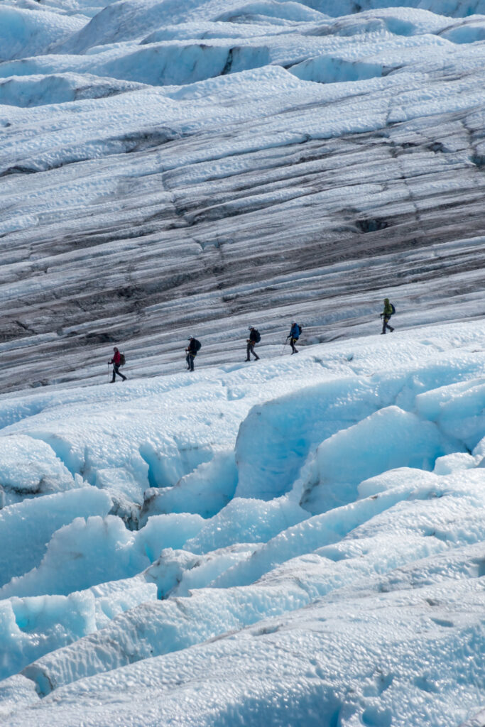
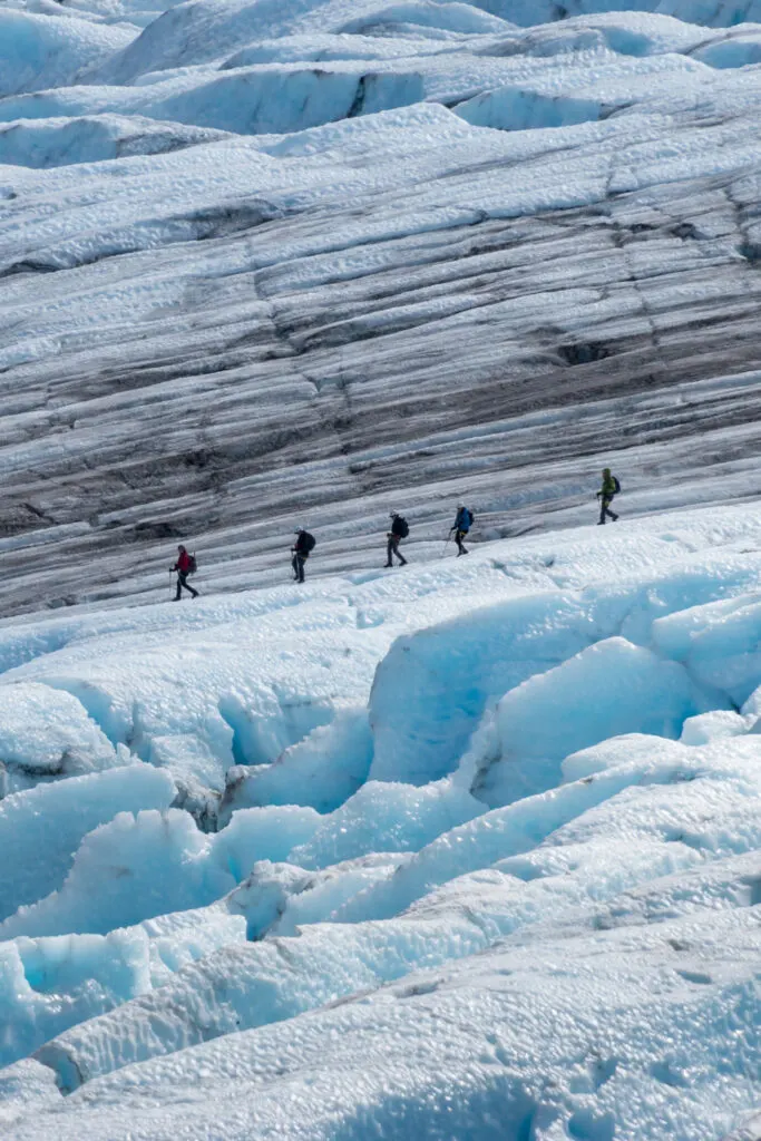
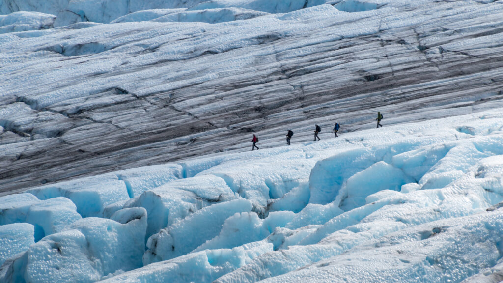
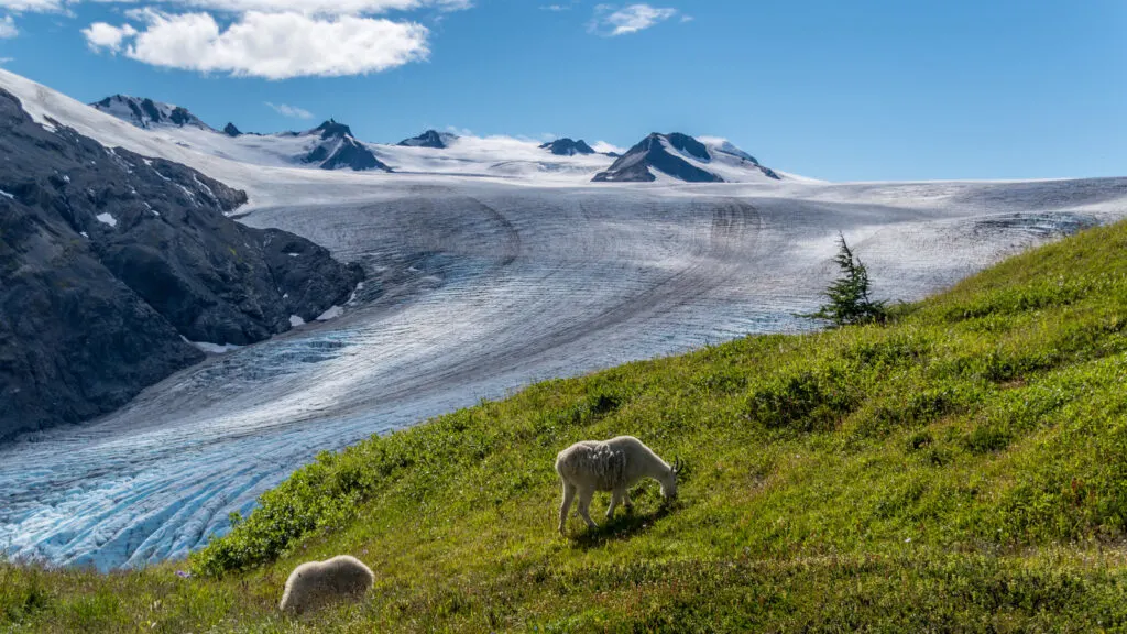
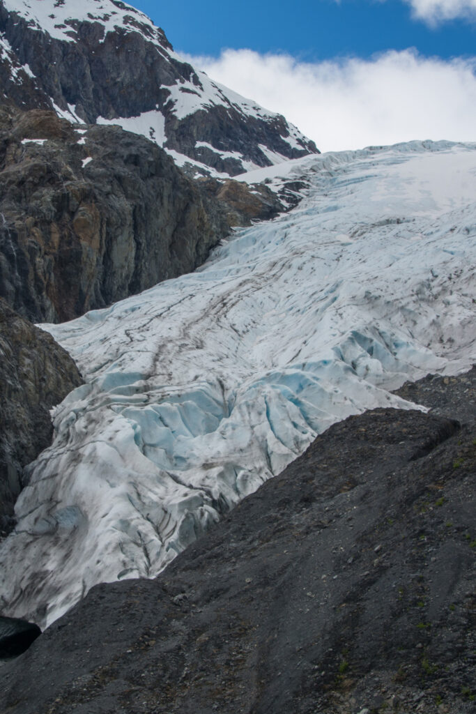
Starting at the Exit Glacier trailhead, the Harding Icefield trail is an out-and-back hike that will take you to one of Alaska’s most iconic views. From the parking lot climb the steep trail through cottonwood and alder forests until you’re above the tree line and the vista opens up to reveal the magnificent Harding Icefield – a huge mass of ice and snow that covers over 700 square miles.
If you’re looking for a shorter easy hike, and just want a view of the Exit Glacier, take the Glacier View Loop Trail – it’s just one mile in length. The trail loops out to a glacier viewpoint and back to the trailhead.

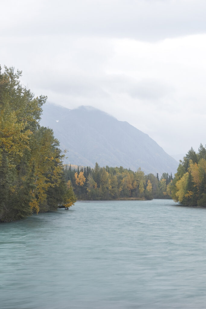
Kenai River Trail (Kenai Peninsula)
- Distance: 10 miles round trip with about 1500 ft elevation.
- Trailhead: Skilak Lake Road, Kenai Peninsula.
- Location: 12 miles from Cooper Landing, about 100 miles south of Anchorage.
- Terrain: Moderate with steeper sections towards the end of the trail.
- Time: 4- 7 hours depending on fitness.
- Best time to hike: Accessible all year round, beautiful in the fall when the leaves are turning color.
- Need to know: Watch out for brown bears – the river is teeming with salmon in mid-summer and the bears know it!
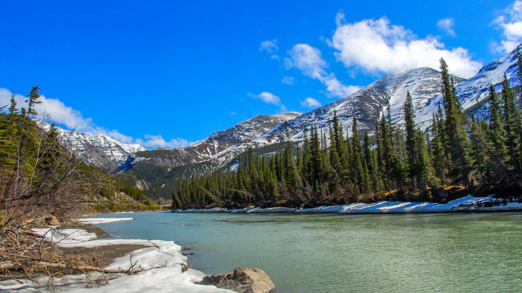

The Kenai River Trail is a linear hike that follows the banks of the Kenai River. It’s a popular destination for fishing, wildlife watching, and picnics. Kenai River is a popular spot for bald eagles. The best place to start is at Skilak Lake Road and follow the trail as it meanders through forests and along riverbanks. After a few miles, you’ll reach a junction. Here you can either take the steeper upper trail or the lower trail along the river. The upper trail will give you better views of the river and wildlife but is more challenging. The lower river trail is an easier option and still has some great views.
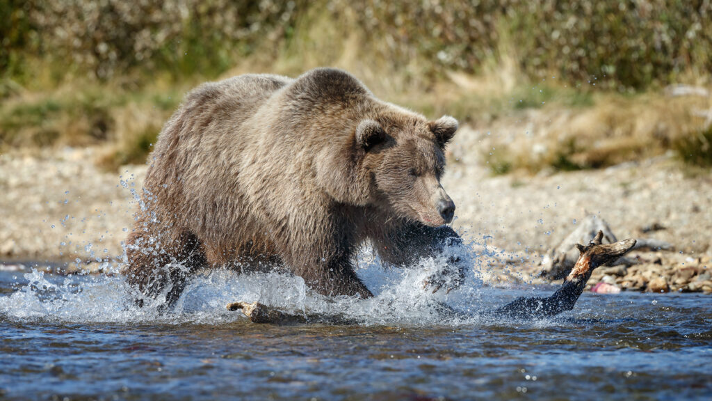

This is bear country, so take care not to surprise any bears and always carry your bear spray. A hiker with a dog was bitten twice after his dog chased a bear. If you’re hiking with a dog, I suggest keeping it on a leash – especially in mid-summer when the salmon are running.

Flattop Mountain Trail (Anchorage)
- Distance: 3.5 miles out and back trail with about 1400 ft elevation.
- Trailhead: Joint Base Elmendorf-Richardson.
- Location: 10 miles from downtown Anchorage.
- Terrain: Moderate – a steep climb but on a good trail. A rocky section near the top.
- Time: 1- 3 hours depending on fitness.
- Best time to hike: Accessible all year round depending on snow cover.
- Need to know: The most climbed peak in the entire state. You need a day permit for parking and dogs must be kept on a leash.

If you’re staying in downtown Anchorage this is a popular hike on your doorstep. The Flattop Mountain Trail is a short but stiff climb with great views of the city and Cook Inlet – on a clear day you can even see Denali! As popular trails go, this short hike is still worthwhile. It’s often used by locals fitting a quick walk or run on a busy day.

Wolverine Peak (Chugach State Park)
- Distance: 8 miles out and back trail with about 3600 ft elevation.
- Trailhead: Basher Drive (quieter than the Prospect Heights approach).
- Location: 10 miles from downtown Anchorage.
- Terrain: Moderate – a steep climb but on a good trail. No technical difficulty.
- Time: 4- 8 hours depending on fitness.
- Best time to hike: June to September. Possible in winter for experienced hikers.
- Need to know: The most climbed peak in the entire state. You need a day permit for parking and dogs must be kept on a leash.

This is the easiest peak in the Chugach Mountains in terms of technical difficulty. Even Flattop Mountain has a rocky section near the top. But it’s still a worthwhile hike and one of the best day hikes near Anchorage. Once you’re clear of the trees the views are amazing looking out over the inlet to the Aleutian ranges. If you’re a competent hiker, you can always extend the route and make it more interesting by following the ridge to Rusty Point.
Reed Lakes Trail (Hatcher Pass)
- Distance: 8 miles out and back trail with about 3600 ft elevation.
- Trailhead: Archangel Road, Hatcher Pass
- Location: Sutton-Alpine, 19 miles from Palmer, 60 miles from Anchorage
- Terrain: Challenging route – switchbacks and boulder fields.
- Time: 4- 8 hours depending on fitness.
- Best time to hike: April to October. Possible in winter for experienced hikers.
- Need to know: More remote feel than the trails around Anchorage. You need a day permit for parking and dogs must be kept on a leash.

This trail at Hatcher Pass starts off easily for the first mile or so following an old mining road past the remnants of Snowbird village on relatively flat terrain. This is just the warm-up!
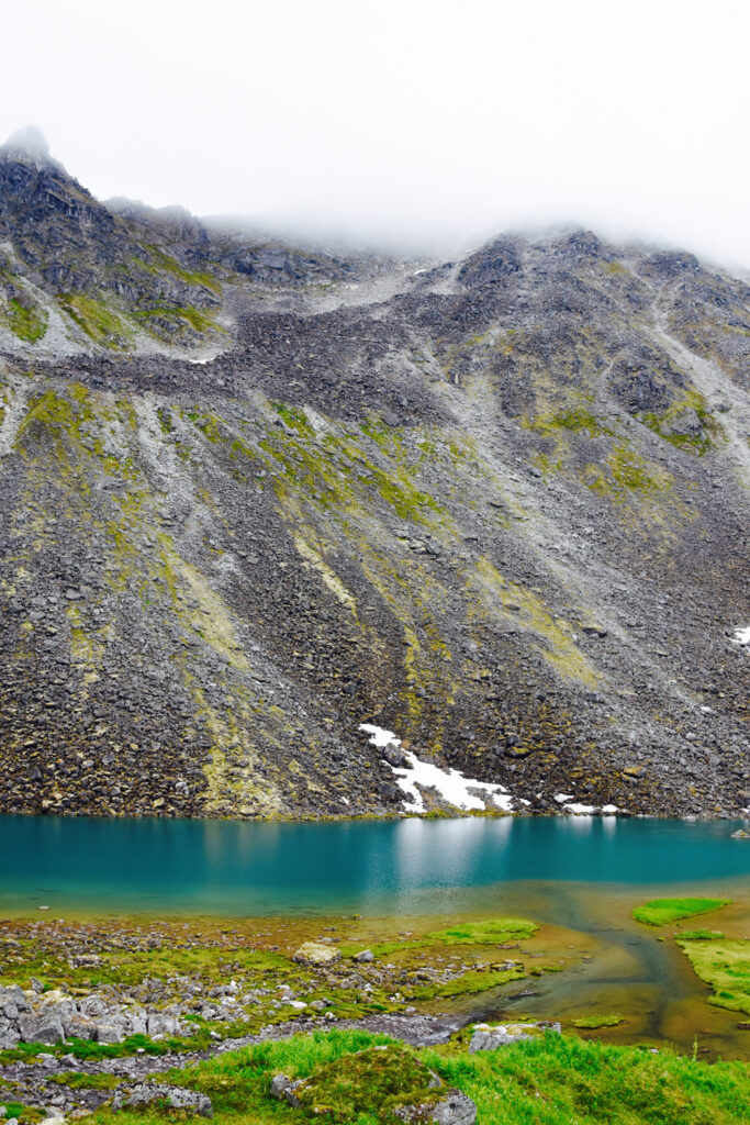
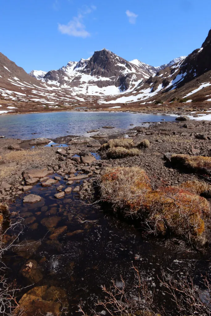
As the trail starts to climbs upwards, the easy path gives way to steep switchbacks and stretches of boulder fields that most hikers will find challenging. It’s all worth it when you glimpse the turquoise waters of Lower Reed Lake up ahead. Soak up the panorama then continue your climb for another mile to Upper Reed Lake.

You can continue from here to the site of a crashed bomber from the 1950s on the aptly named Bomber Glacier. It adds 4 miles to your round trip but the trail conditions deteriorate with very loose rock and boulder fields – some hikers will find this extra section really strenuous. The bomber wreckage is out on the glacial so you’ll need walking spikes to reach the site.
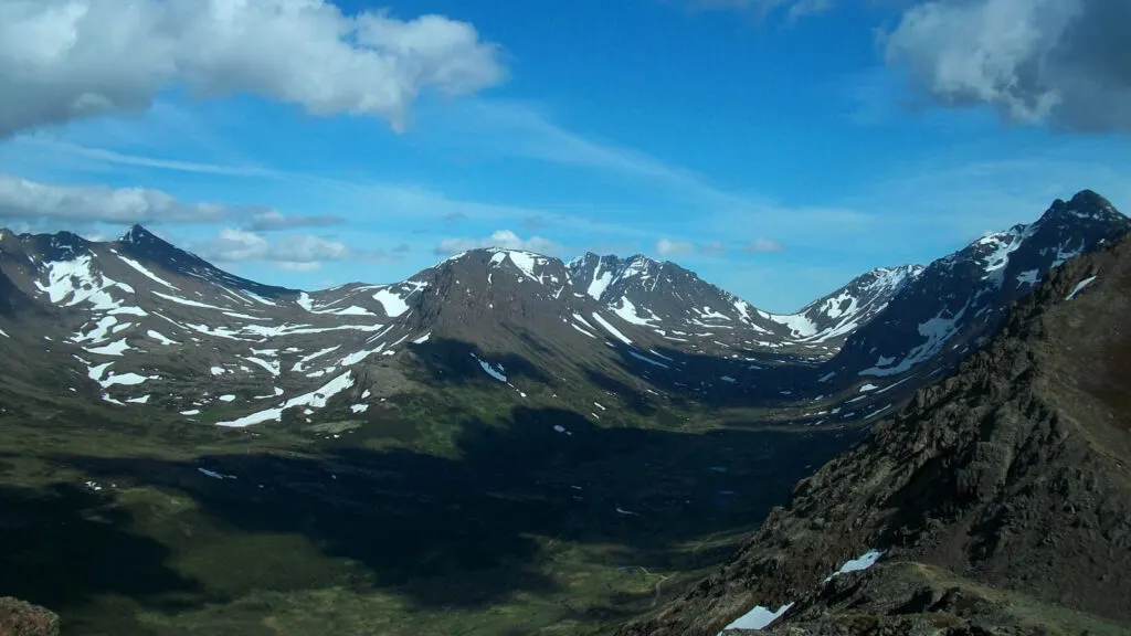
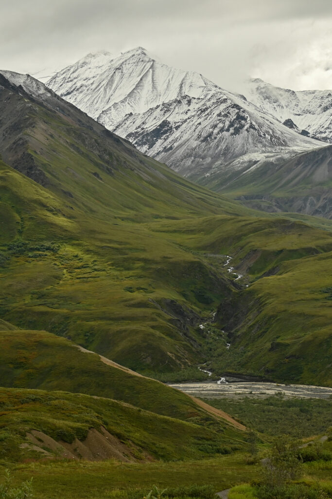
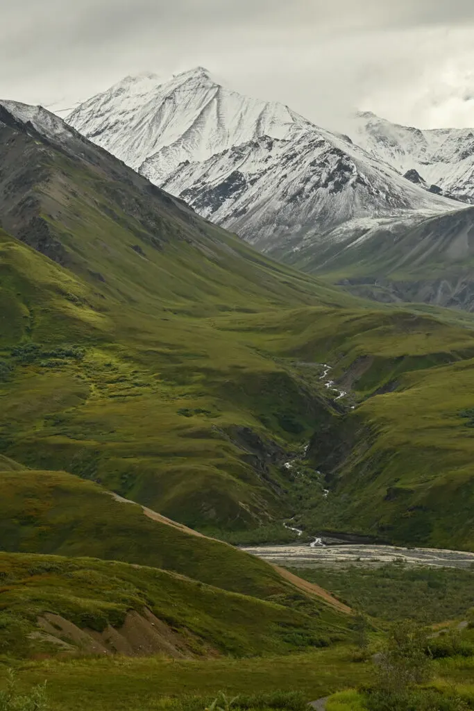
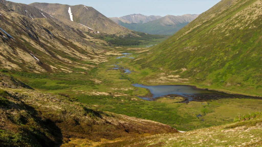
Kesugi Ridge Trail (Denali State Park)
- Distance: 30-mile thru-hike with about 6400 ft elevation.
- Trailhead: Little Coal Creek Trailhead, George Parks Highway (alternative with more climb Byers Lake trailhead).
- Location: 80 miles north of Talkeetna, (165 miles from Anchorage)
- Terrain: Fairly difficult. Hikers need to be self-sufficient and used to thru-hiking.
- Time: 3 – 4 days.
- Best time to hike: July to September.
- Need to know: Navigation can be tricky and you’ll need good map reading and compass skills.

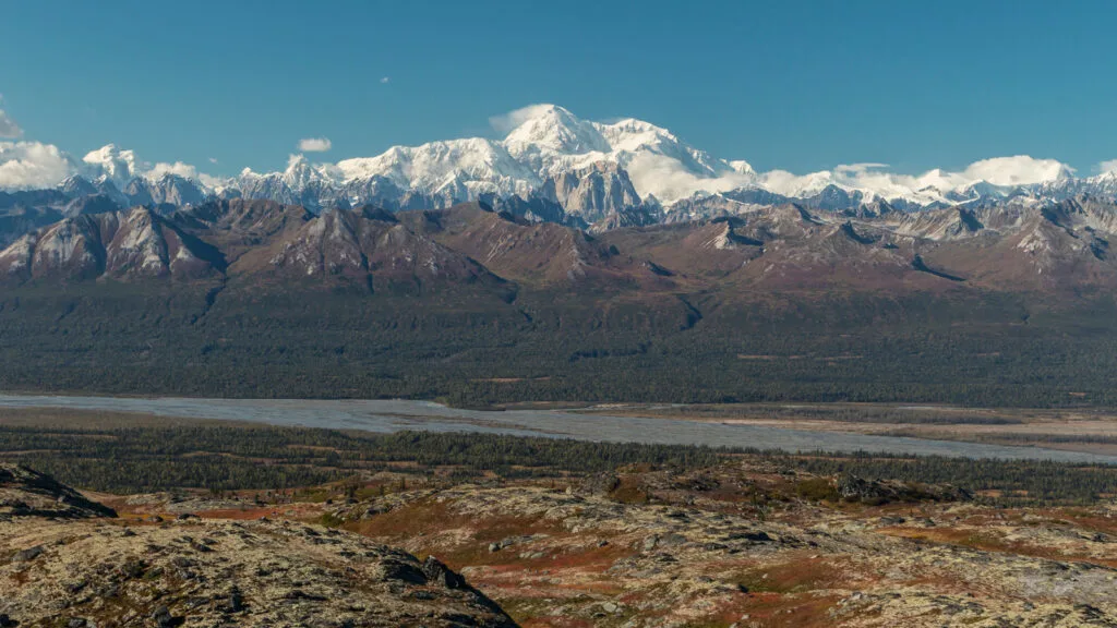
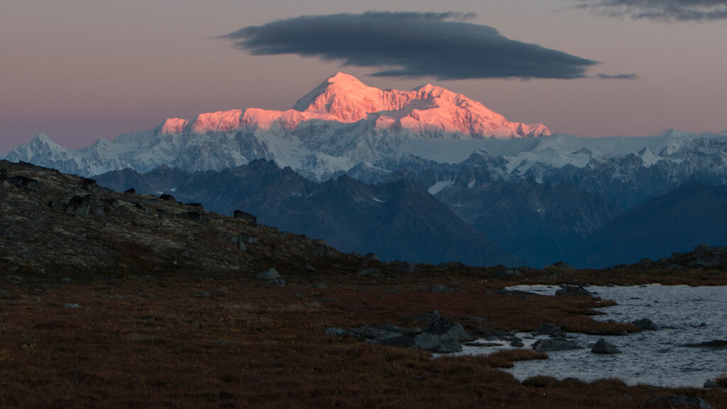
A trip to Alaska isn’t the same without a visit to Denali National Park. Not everyone gets the chance to climb Denali (Mt McKinley) – my own trip was cut short when my climbing partner got pulmonary edema – but you don’t need to be a mountaineer to gaze on this majestic mountain.
Denali is often obscured by clouds but on the Kesugi Ridge Trail, you have at least a 30% chance of viewing the mountain in all its glory. You just need to hope for some clear weather!
Of course, that’s not the only reason to hike this trail. It’s an incredible route and a full wilderness experience with high passes and ridgeline walking.

Eielson Alpine Trail (Denali National Park)
- Distance: 2-mile hike out and back with about 1000 ft elevation.
- Trailhead: Eielson Visitor Center, Mile 66 Denali Park Road
- Location: 220 miles north of Talkeetna
- Terrain: Moderate – a steep climb but on a good trail. No technical difficulty.
- Time: 2- 3 hours depending on fitness.
- Best time to hike: June to mid-September.
- Need to know: The park road is currently closed at Mile 42 due to a landslide – check before going.
A steep but well-defined trail climbing up above the nature center. If the weather obliges it’s one of the best ways to see Denali – catch a glimpse through the clouds. Watch out for inquisitive marmots!
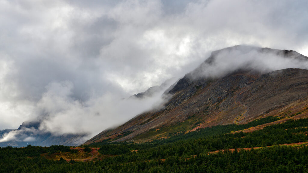
Crow Pass Trail (Chugach Mountains)
- Distance: 26-mile thru-hike with about 3000 ft elevation.
- Trailhead: Girdwood Trailhead, Crow Creek Road from Alyeska Highway.
- Location: 7 miles from Girdwood, 45 miles south-east of Anchorage.
- Terrain: A challenging route with river crossings, steep technical sections and it’s possible to lose the trail in places.
- Time: 2- 3 days.
- Best time to hike: June to October. Avalanche-prone in winter.
- Need to know: You need a day permit for parking. Best hiked from Girdwood to Eagle River – after the first steep climb up to Crow Pass it’s downhill all the way! Be bear aware – both black and brown bears spotted on this route.

This is a wonderful trail where the difficulty is dictated by the depth of the river crossings. It may be best to get some local advice before you set off. Trekking poles are a good idea if the water is deep.
It’s one of the best Alaska hikes in the Chugach Mountains with everything from glaciers to deep gorges and waterfalls. Highlights are Crystal Lake, the view up Milk Glacier, and the prospect of wildlife sightings – marmots, mountain goats, and Dall sheep, plus of course bears.

Resurrection Pass Trail (Chugach National Forest)
- Distance: 44-mile thru-hike with about 6000 ft elevation.
- Trailhead: 4 miles along Resurrection Creek Road from mile 15 of Hope Highway.
- Location: 15 miles from Hope, 85 miles from Anchorage.
- Terrain: Moderate. A well-maintained route with lots of cabins and campsites on route.
- Time: 3- 5 days.
- Best time to hike: June to September.
- Need to know: Dogs must be on a leash.
Billed as the best multi-day hike in the southern-central Alaska area, it’s a wilderness experience but with good hiking infrastructure – an easy-to-follow trail and regular campsites or cabins. This makes the Resurrection Pass Trail ideal for less experienced hikers looking for a first-thru-hiking trip or an ideal trip for fastpacking.
Enjoy some of the best views of the Kenai Mountains and make time for a spot of fishing in Juneau Lake! The route is also popular with mountain bikers.
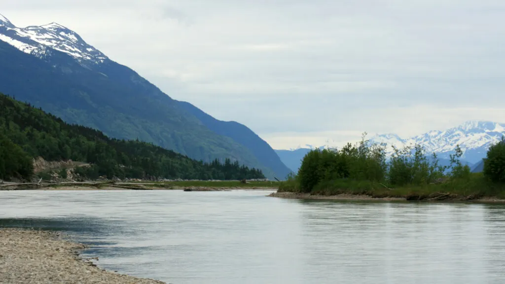
Chilkoot Trail (Skagway)
- Distance: 33-mile thru-hike with about 6000 ft elevation.
- Trailhead: 9 miles from downtown Skagway along Dyea Road. Finishes at Lake Bennet train station across the border in British Columbia.
- Location: 100 miles north of Juneau
- Terrain: Moderate but some less experienced hikers find it difficult. An established trail with some tough boulder sections.
- Time: 3- 5 days.
- Best time to hike: Late June to Mid-September.
- Need to know: This trail is extremely popular and permits are required. Take your passport. Dogs must be on a leash.

The Chilkoot Trail is not my personal choice for the best hikes in Alaska but 10,000 people a year say otherwise. Despite its remote location, hikers are drawn to walk in the footsteps of Klondike Gold Rush stampeders.

There’s a notorious steep gully known as the Golden Stairs – just don’t expect a staircase or a handrail.
I hope you’ve enjoyed this list of the best hikes in Alaska. Let me know in the comments below if you’ve got any to add. It’s almost impossible to pick just a few hikes from the diverse and wonderful trails Alaska has to offer!